

Portland, Oregon Transportation
Whether you’re going out for an evening on the town, commuting to work or biking over to your favorite coffee shop, you’ve got a lot of options to choose from when it comes to transportation options in Portland, Oregon.
Portland Oregon Map – This map shows major freeways, highways, universities and colleges in Portland. Pay close to attention the Willamette River which is used as a dividing line between NW, SW and NE and SE Portland.
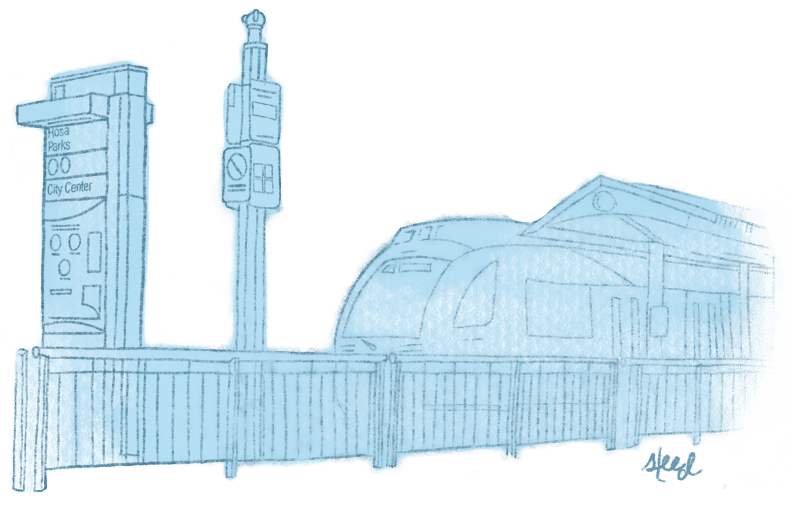
TriMet Website – TriMet is Portland’s mass transit system. TriMet offers environmentally friendly and convenient transportation via the MAX light rail, buses, and the Portland Street Car. Click here to find a Rider’s Guide, Maps and Schedules, Customized Trip Planner and more.
TriMet – Interactive Maps and Schedules for Bus, Max and Streetcar – As this is a very popular search item, here is a quick link to Maps and Schedules for TriMet. One of the most popular modes of transportation in the city!FREE Transportation in “Fareless Square” – That’s right! Ride the light rail, or street car for free when you are downtown! Operating since 1975, Fareless Square spans most of downtown Portland (within the boundaries of the Willamette River, NW Irving Street, and the I-405 freeway), as well as Light rail MAX stations from the Rose Quarter to Lloyd Center and bus stops along NE Multnomah to 13th Avenue.
Portland Gas Prices – With gas prices rising exorbitantly, its no surprise that this website was born. Come check out the latest gas prices, per gas station, per neighborhood!
Portland Transportation – Walking Maps – Click here for a link to three “walking maps” for cruising around North, Southwest and Southeast Portland, Oregon the healthy way. This is a great opportunity to get out and see Portland from an entirely different perspective. These maps are very useful as they feature off-street paths and trails and indicate which ones are paved, unpaved, and suitable for cycling. Buy a copy or download for one for free.
Portland Transportation – Biking Maps – Oregon and Northwest bike maps, Portland Metro Area Bike Maps and Portland Bike Maps are found here. Shows off street bicycle parking, popular trails, commuting paths and more.
Access and Mobility in Portland – Articles (very interesting reading!) and comments from the Portland community. A blog based conversation about access and mobility in Portland, Oregon.
Oregon Biking – Portland, Oregon is a “pro-bike” city. Bicycling is an enormously important and popular mode of transportation (and exercise!). This site is a great source for biking events, blogs and bicyclist education.
BikePortland.org – – Portland’s ultimate bike blog, with news, rides, jobs, and other biped info to inform and inspire.
Portland Carriage Rides – There is nothing lovelier than Portland by carriage. This is a very popular way to spend a romantic evening or see and feel Portland in that rustic, old fashioned way.
Portland Pedicabs – These “bike carriages”, or urban chariots are powered by humans instead of horses, and can give you a unique view of the city of Portland from the back of a pedicab. These Portland pedicabs are popular with tourists as well as locals and can be a fun way to get around town. Here are a few options here in town:
Taxi and Cab Information – Everyone has a favorite taxi company in Portland. Sometimes it’s just easier to “cab it” and avoid traffic, parking or missing out on the fun (let the cabbie be your ‘designated driver’!)
ZipCar – Car Sharing service lets you rent cars by the hour or by the day.
Conveniently parked throughout the city, Zipcars live near where you work and
play.
Parking in Portland – Click here for information on SmartPark: maps, hourly, daily and monthly rates, operating hours and a directory of businesses that participate in parking validations.
Portland Traffic – Portland traffic speed map, road conditions, traffic cams and live traffic and incident reporting.
Portland Homes for Sale
